
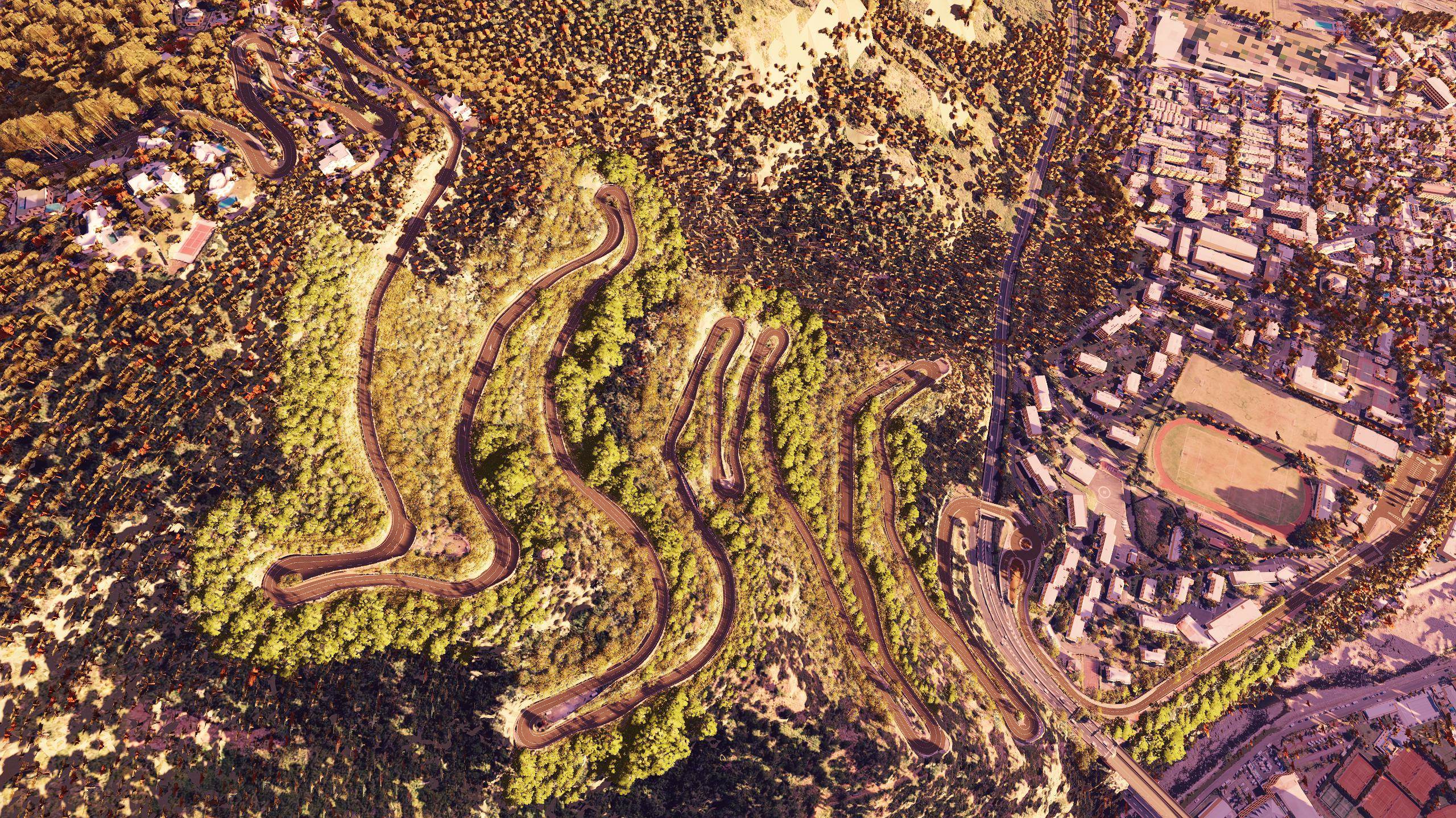
RD41 La Montagne
Saint-Denis → La Montagne · rebuilt from IGN LiDAR HD scans
- Length
- 6.87 km
- Elevation +
- 397 m
- Hairpins ?
- 13
- Altitude
- 49→443 m
- Avg. grade
- 5.7 %
- Version
- 1.0
Out on 31 October 2026, 7 pm Reunion time (UTC+4)
? hairpin count to be confirmed
LAYOUT · START → FINISH
Compare mode
Same viewpoint, same metre of road. Drag to switch from real life to the game.
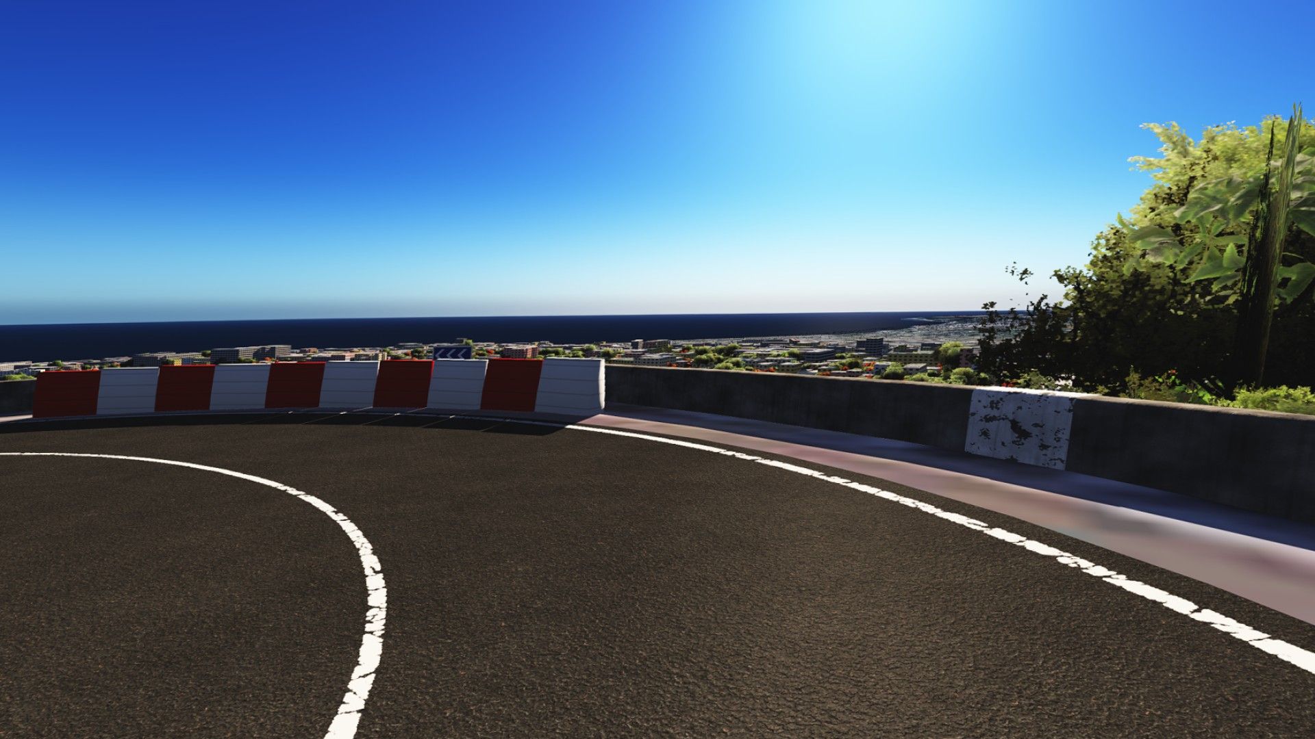
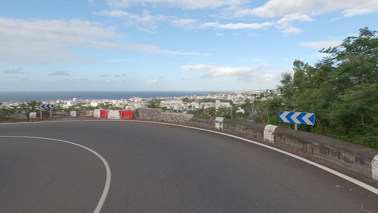
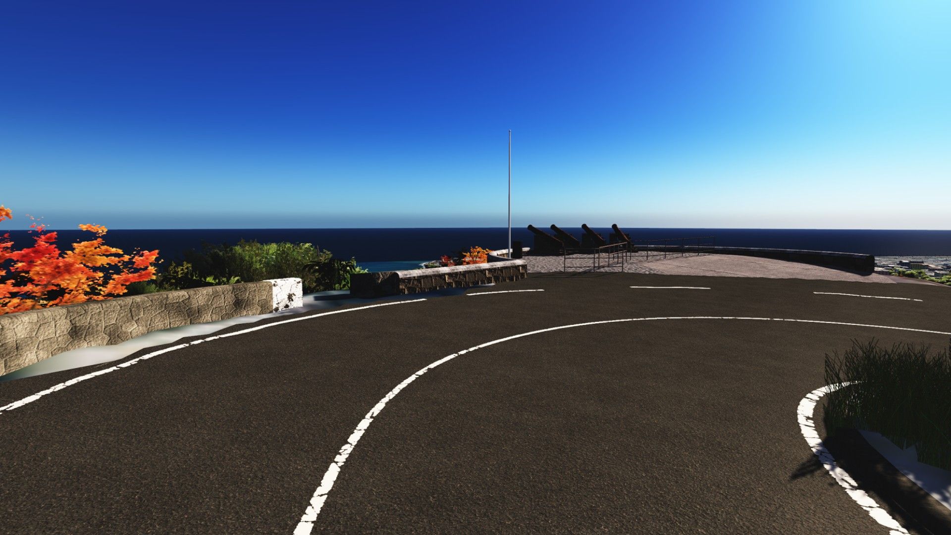
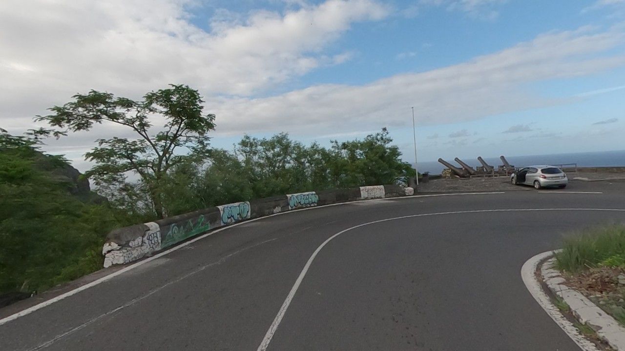
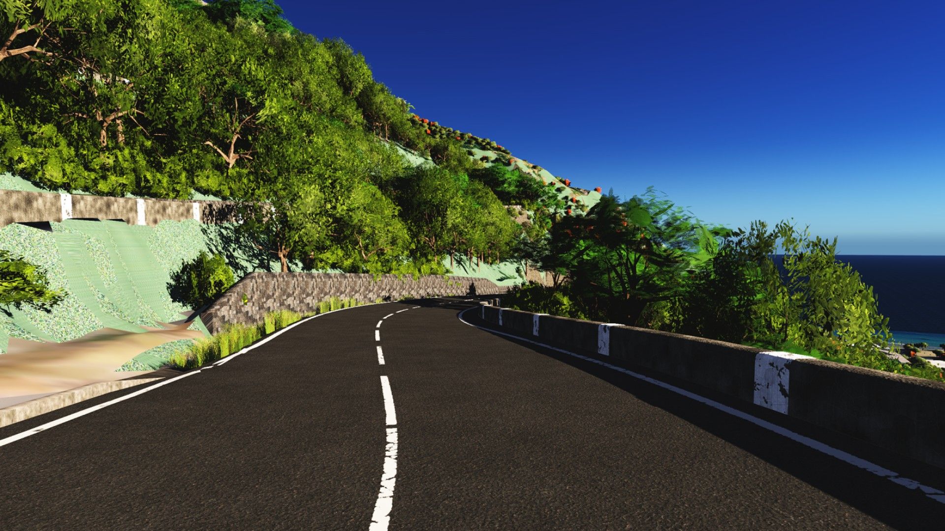
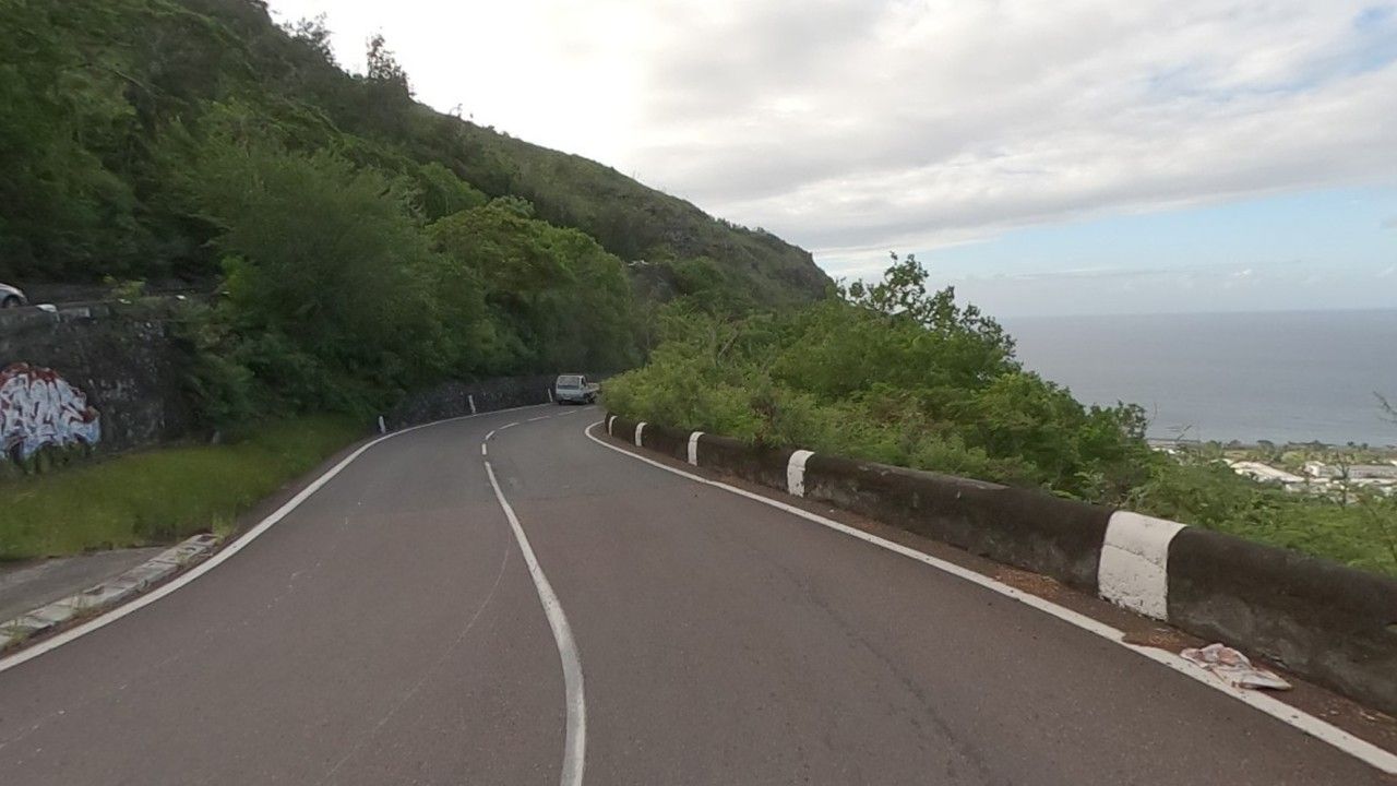
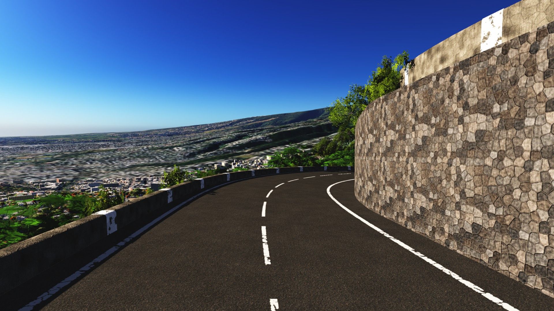
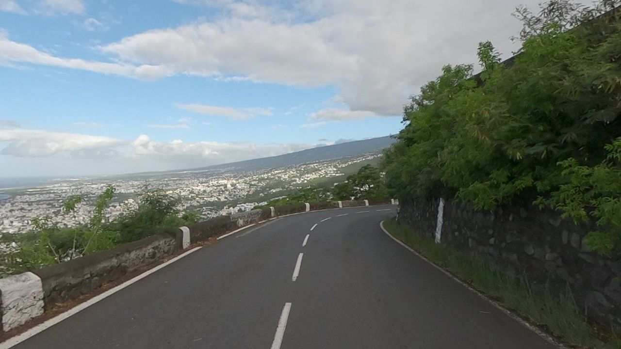
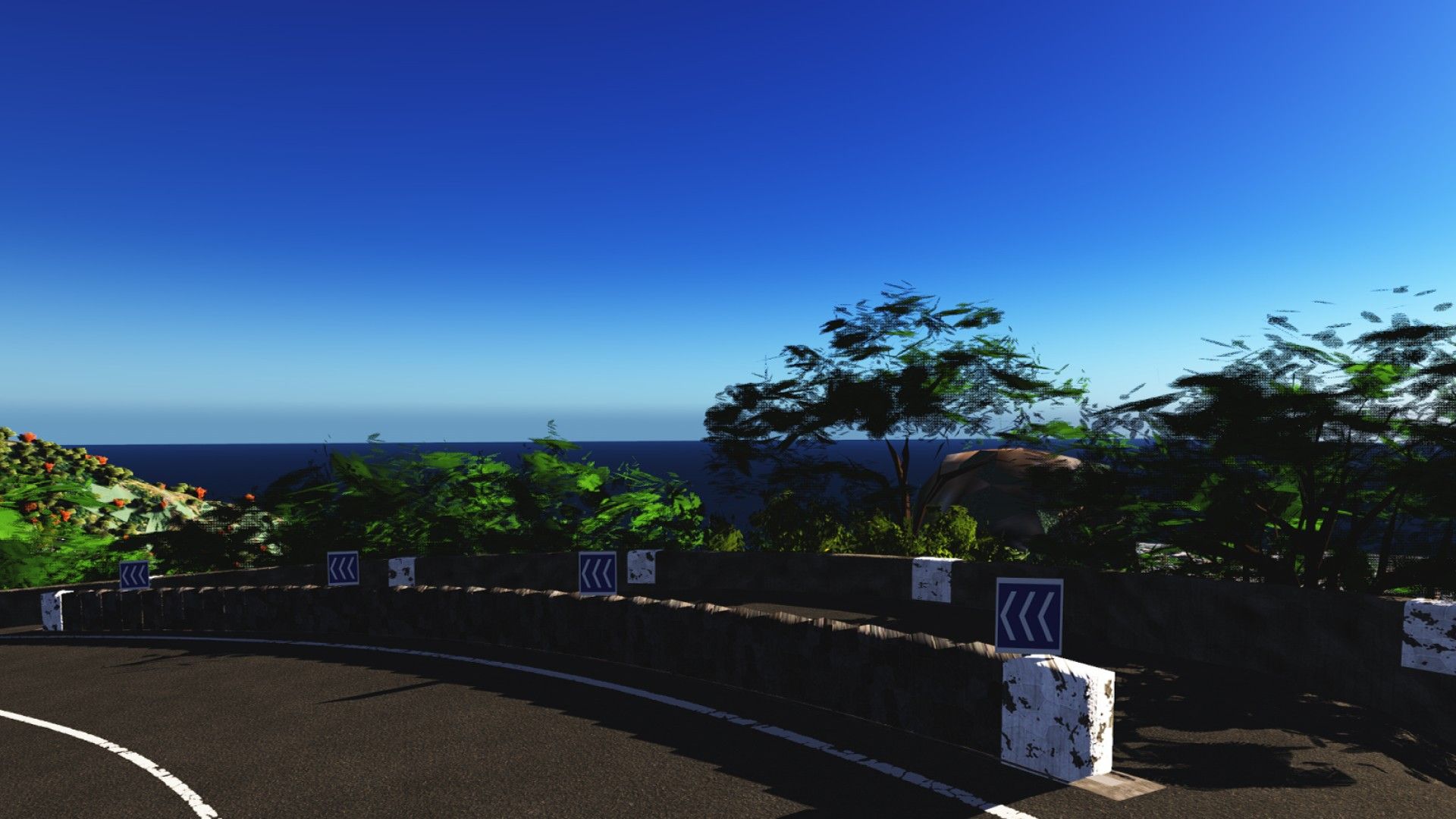
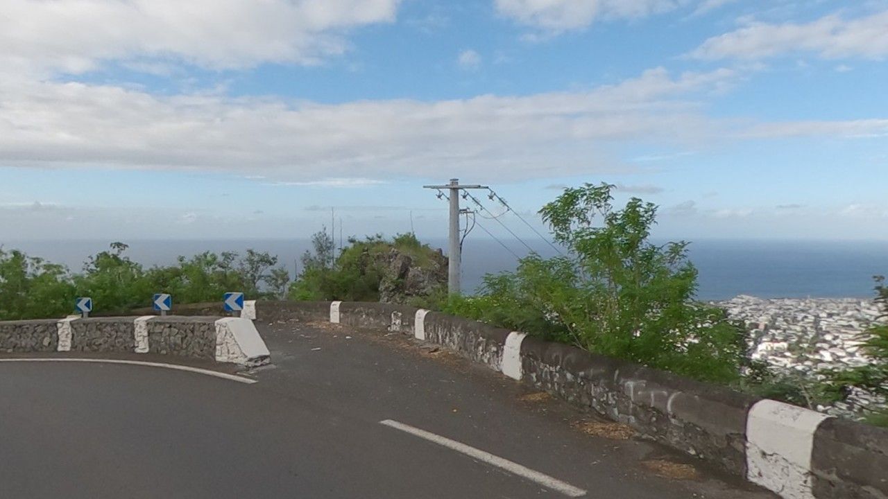
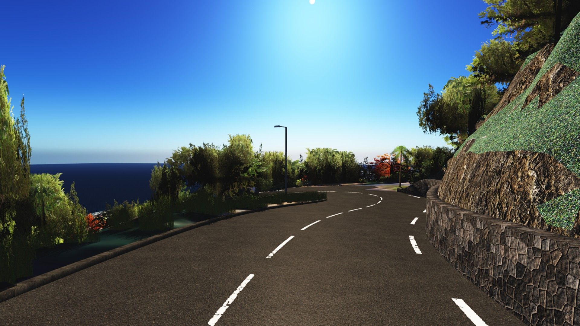
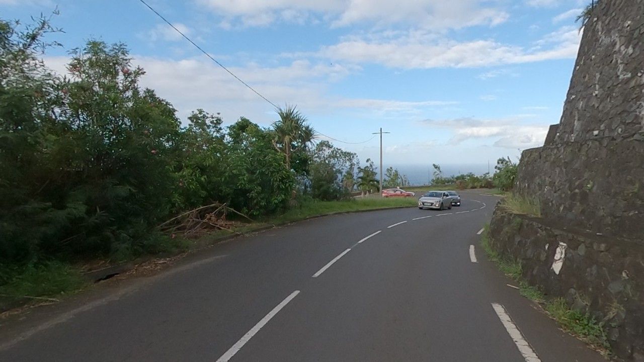
Real photos: Panoramax, sylvainp, 31/03/2025, Licence Ouverte 2.0 (cropped 360° photos). In game: Assetto Corsa screenshots (Custom Shaders Patch + Pure) from the same viewpoint, cropped to match the photo; the mood depends on the time and weather you pick.
Hover or touch the profile to read distance and altitude.
Before you drive
Three steps, about ten minutes. The guide walks through every screen. Installation guide →
Content Manager
The Assetto Corsa launcher; the Lite version is enough.
CSP
Custom Shaders Patch, from Content Manager: lighting, night, 3D trees.
The track
Install the zip, then pick “RD41 La Montagne – Montée”.
Join the team
The track is free. Ko-fi members fund the computer and the time, and pick the next road.
Clips
TikTok videos, loaded only when you click.
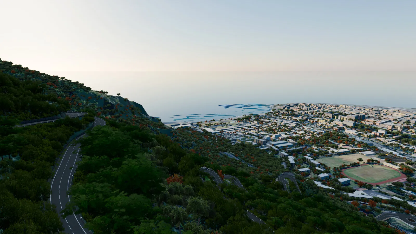 Know this road? The Route de la Montagne is coming to the gameThe TikTok video only loads when you click.TikTok ↗